The National Disaster Risk Reduction and Management Council (NDRRMC) on Friday urged local government units (LGUs) to use the geohazard map of the Department of Environment and Natural Resources-Mines and Geosciences Bureau (DENR-MGB) to mitigate disaster risks.
In a Malacanang press briefing, NDRRMC Undersecretary Ariel Nepomuceno said the map could also help LGUs locate areas where preemptive and forced evacuation should be enforced.
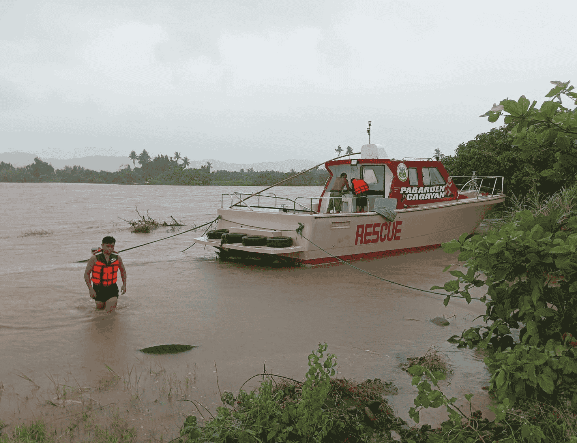
In the past three weeks, the country experienced three consecutive strong typhoons that caused massive flooding and landslides in the regions of Bicol and Calabarzon, and northern Luzon provinces.
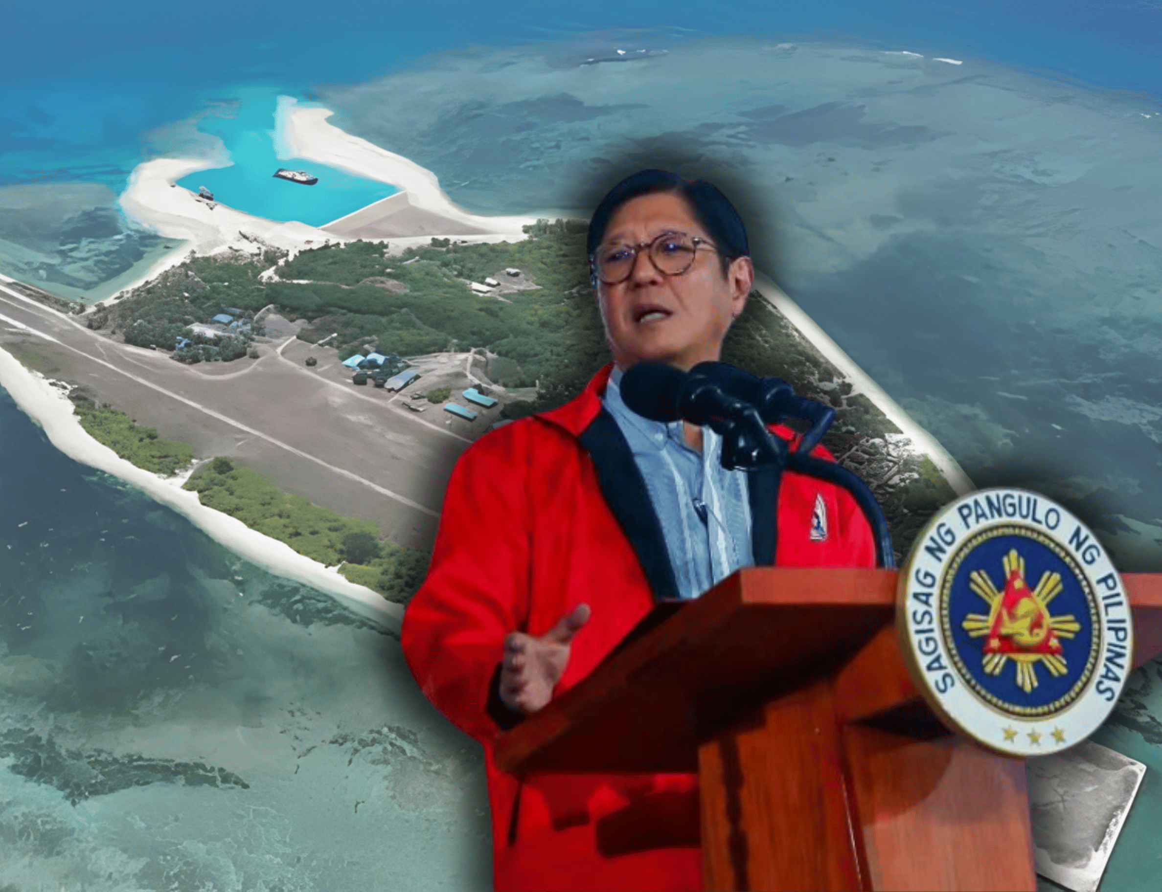
President Ferdinand R. Marcos Jr. visited the areas severely affected by the typhoons including the so-called “ground zero” in Barangay Sampaloc, Talisay, Batangas, where at least 20 people perished in a landslide.
In the wake of the unfortunate event, the DENR released a list of barangays prone to landslide, flood, and storm surges based on the DENR-MGB geohazard map.
“The good news is very conscious na ngayon ‘yung government agencies to take advantage of available data and scientific data to help us in the predictive analysis of what will happen,” Nepomuceno said.
“The direction is this. Mayroon tayong common geohazard map and then we will populate that with important and critical data. One of which is the one from MGB which will point out exactly what are the vulnerable areas or communities,” he added.
Aside from the MGB data, Nepomuceno said they are also using data from various government agencies such as the Philippine Institute of Volcanology and Seismology and foreign agencies.
He said all the data will be used by national agencies to come up with a conservative recommendation for communities.
“We would like to make sure that the LGUs will fully utilize the recommendations and the scientific data being provided to them,” he said. | PND


