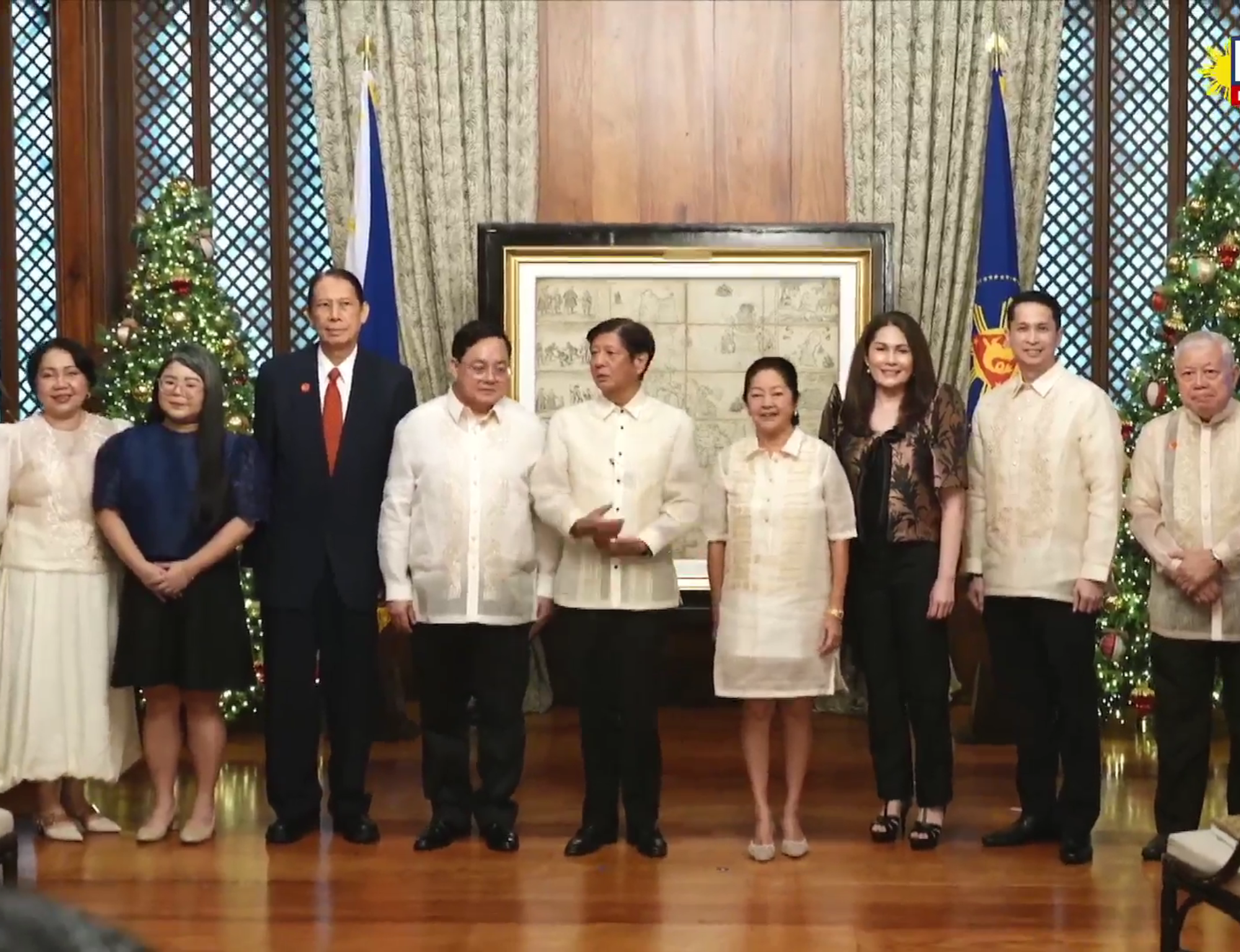
President Ferdinand R. Marcos Jr. and First Lady Liza Araneta-Marcos received on Friday the original Murillo Velarde 1734 Map at the Malacañan Palace.
During the event, President Marcos described the map as a defining testament to the country’s deep historical roots of its identity.
“Beyond its intricate detail and craftsmanship, it is a defining testament to the deep historical roots of our very identity as a nation,” the President said.
He said the map or the Carta Hydro-graphica y Choro-graphica de las Yslas Filipinas, encapsulates not just the geographical contours of the Philippine archipelago but also the vibrant interplay of cultures, peoples, and traditions that define the nation.
Widely regarded as the “Mother of All Philippine Maps,” the map features details that go far beyond rivers and coastlines, the President said.
There are also depictions of indigenous Filipinos, mestizos, and Sangleyes; bustling ports and verdant rural landscapes as well, he said.
“It is as if Murillo Velarde, [Suarez], and Bagay sought to tell the world, “yes, it is a collection of islands. But more than that, this is a nation, a nation that is in the making,’” the President said.
The map also played a pivotal role in strengthening the Philippines’ territorial claims, serving as critical evidence in the landmark 2016 decision of the Permanent Court of Arbitration at The Hague, which upheld the nation’s rights over the West Philippine Sea (WPS).
The Murillo Velarde 1734 Map was produced by Spanish Jesuit Friar Pedro Murillo Velarde with the help of two Filipino artisans, Francisco Suarez who drew the map and Nicolas dela Cruz Bagay who engraved it.
It was acquired by Mel Velasco Velarde in 2014 at an auction in Sotheby in London and subsequently donated to the Philippine government.
It is considered the first scientific map of the Philippine archipelago. PND
